It's not the pen you use, it's how you sign your name

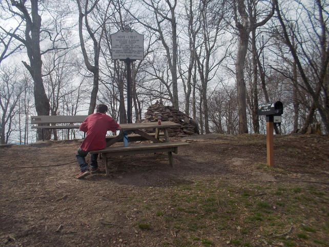
Maryland is a little state. It's entire southern border is the Potomac River from source to the Chesapeake Bay. It's source marks the farthest southwest tip of the state. A surveyed vertical boundary extends north to the border with PA (Mason-Dixon line). The Fairfax Stone, named after Lord Fairfax (VA), was set to mark this point and it was a forefather of mine who guided the survey party in the 1700s. It's also the same area where Maryland's highest point, Hoye Crest, is located on top of Backbone Mt.
Before the leaves came out last year my son and I visited these locations. For fun, I included a video from Pt. Lookout which is where the Potomac meets the Chesapeake Bay. The river becomes tidal at Washington, DC. There were four lighthouses on the lower Potomac. Imagine that, lighthouses on this little trickle of water to guide ships. Now we need to get down there to check that out. Like I said, a little state, but I have never been there
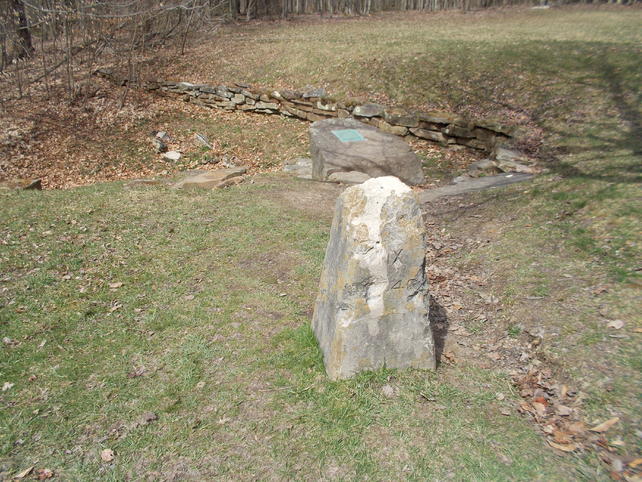
Fairfax Stone w/spring behind it:
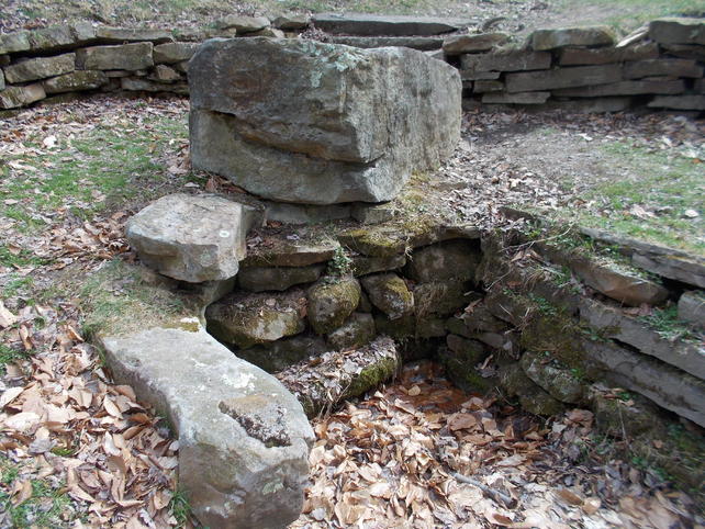
Source of the Potomac:
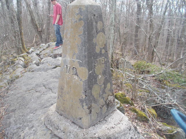
Third marker for western boundary from the stone. Very near Hoye Crest:
Hoye Crest:
I apologize for the sped-up driving at first. One thing I dislike that YouTubers do. Once he gets you at the point it goes to drone. The river is to the right looking out from the point